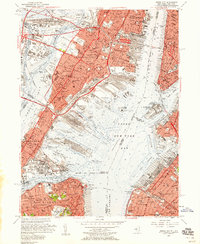
1955 Map of Jersey City
USGS Topo · Published 1958About this map
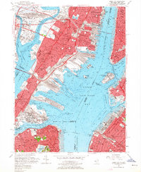
Upper New York Bay serves as the central hub of this mid-century maritime landscape, where the industrial strength of Jersey City and Bayonne meets the dense urban waterfronts of Greenwich Village and South Brooklyn. The map illustrates a massive network of rail infrastructure during the height of the freight era, with extensive trackage and terminals such as Greenville Yards, Meadows Yards, and the Baltimore and Ohio RR dominating the shoreline. This period predates the full containerization of the harbor, showing the complex of slips, piers, and basins like Erie Basin and Atlantic Basin that defined the working waterfront.
Find a feature on this map
91 named features on this map. Tap any name to fly to it.
Don’t see what you’re looking for? This feature index may not catch every label — zoom into the map to look around manually.
Map Details
Editions of this 1955 Jersey City Map
2 editions found
Other maps of this area

1888 · Paterson
USGS Topo · 1:62,500

1889 · Brooklyn
USGS Topo · 1:62,500

1891 · Brooklyn
USGS Topo · 1:62,500

1891 · Harlem
USGS Topo · 1:62,500

1892 · Paterson
USGS Topo · 1:62,500

1897 · Harlem
USGS Topo · 1:62,500

1897 · Brooklyn
USGS Topo · 1:62,500

1898 · Harlem
USGS Topo · 1:62,500

1898 · Staten Island
USGS Topo · 1:62,500

1898 · Brooklyn
USGS Topo · 1:62,500