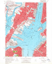
1955 Map of Jersey City
USGS Topo · Published 1964About this map
Jersey City and Hoboken stand at the height of their industrial and maritime power in this mid-1950s survey. The landscape is defined by an intricate network of rail yards and shipping terminals, including the massive Greenville Yards and the Jersey City Terminal, serving major lines like the Pennsylvania RR and Central RR of New Jersey. The Upper New York Bay is a hive of activity, featuring iconic landmarks such as the Statue of Liberty on Liberty Island and the processing center at Ellis Island. Across the Hudson River, the map captures the western edge of Greenwich Village, while to the south, the densely packed neighborhoods of St George and New Brighton on Staten Island are visible. Educational and civic life is represented by Stevens Inst of Tech and St Peters College, alongside recreational spaces like Roosevelt Stadium and Lincoln Park.
Find a feature on this map
84 named features on this map. Tap any name to fly to it.
Don’t see what you’re looking for? This feature index may not catch every label — zoom into the map to look around manually.
Map Details
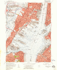
Editions of this 1955 Jersey City Map
2 editions found
Other maps of this area

1888 · Paterson
USGS Topo · 1:62,500

1889 · Brooklyn
USGS Topo · 1:62,500

1891 · Brooklyn
USGS Topo · 1:62,500

1891 · Harlem
USGS Topo · 1:62,500

1892 · Paterson
USGS Topo · 1:62,500

1897 · Harlem
USGS Topo · 1:62,500

1897 · Brooklyn
USGS Topo · 1:62,500

1898 · Harlem
USGS Topo · 1:62,500

1898 · Staten Island
USGS Topo · 1:62,500

1898 · Brooklyn
USGS Topo · 1:62,500