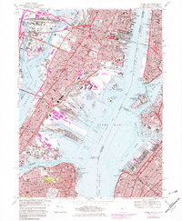
1967 Map of Jersey City
USGS Topo · Published 1982About this map
Industrial waterfronts and heavy rail corridors define this mid-century portrait of Jersey City and its neighbors. The landscape is dominated by massive logistics infrastructure, from the sprawling Meadows Yards in the north to the Greenville Yards on Upper Bay. The map documents a period of transition, with Conrail lines stitching together established neighborhoods like Communipaw and West Bergen while new developments like Liberty State Park begin to appear along the shoreline.
Find a feature on this map
94 named features on this map. Tap any name to fly to it.
Don’t see what you’re looking for? This feature index may not catch every label — zoom into the map to look around manually.
Map Details
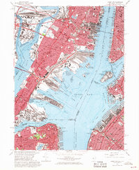
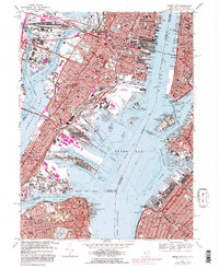
Editions of this 1967 Jersey City Map
3 editions found
Other maps of this area

1888 · Paterson
USGS Topo · 1:62,500

1889 · Brooklyn
USGS Topo · 1:62,500

1891 · Brooklyn
USGS Topo · 1:62,500

1891 · Harlem
USGS Topo · 1:62,500

1892 · Paterson
USGS Topo · 1:62,500

1897 · Harlem
USGS Topo · 1:62,500

1897 · Brooklyn
USGS Topo · 1:62,500

1898 · Harlem
USGS Topo · 1:62,500

1898 · Staten Island
USGS Topo · 1:62,500

1898 · Brooklyn
USGS Topo · 1:62,500