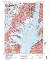
1967 Map of Jersey City
USGS Topo · Published 1982About this map
The dense industrial and maritime corridor of Jersey City and Hoboken is frozen in time during this late 1960s revision. This map highlights the critical infrastructure of the harbor, from the Morris Canal Basin to the massive U S Military Reservation Caven Point Army Terminal. The urban landscape is marked by prominent landmarks such as Journal Square and Roosevelt Stadium, while the waterfront shows the active piers and terminals that defined the era. Significant transport arteries like the Pulaski Skyway and Holland Tunnel anchor the region's connection to Manhattan.
Find a feature on this map
96 named features on this map. Tap any name to fly to it.
Don’t see what you’re looking for? This feature index may not catch every label — zoom into the map to look around manually.
Map Details
Editions of this 1967 Jersey City Map
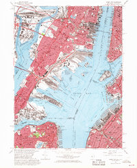
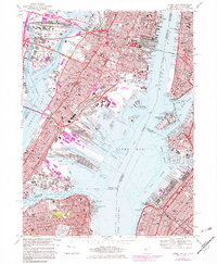
3 editions found
Other maps of this area

1888 · Paterson
USGS Topo · 1:62,500

1889 · Brooklyn
USGS Topo · 1:62,500

1891 · Brooklyn
USGS Topo · 1:62,500

1891 · Harlem
USGS Topo · 1:62,500

1892 · Paterson
USGS Topo · 1:62,500

1897 · Harlem
USGS Topo · 1:62,500

1897 · Brooklyn
USGS Topo · 1:62,500

1898 · Harlem
USGS Topo · 1:62,500

1898 · Staten Island
USGS Topo · 1:62,500

1898 · Brooklyn
USGS Topo · 1:62,500