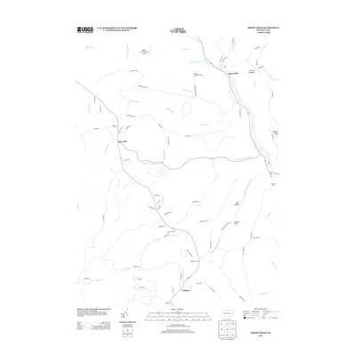
2013 Map of Jersey Mills
USGS Topo · Published 2013About this map
Jersey Mills serves as a focal point along the meandering Pine Cr in this northern Pennsylvania landscape. The terrain is defined by a dense network of high-elevation plateaus and deep water-cut valleys, with the Miller Run Natural Area preserving a significant portion of the northern timberlands. Small settlements such as Haneyville and Gallagher are connected by a web of mountain roads and logging trails, including Francis Farm Rd and Queens Run Rd, indicating a history shaped by both timber harvesting and rural habitation.
Find a feature on this map
81 named features on this map. Tap any name to fly to it.
Don’t see what you’re looking for? This feature index may not catch every label — zoom into the map to look around manually.
Map Details
Editions of this 2013 Jersey Mills Map
This is the sole edition of this map. No revisions or reprints were ever made.
Other maps of this area

1921 · Howard
USGS Topo · 1:48,000

1921 · Lock Haven
USGS Topo · 1:62,500

1923 · Howard
USGS Topo · 1:62,500

1923 · Lock Haven
USGS Topo · 1:62,500

1935 · Waterville
USGS Topo · 1:24,000

1937 · Waterville
USGS Topo · 1:48,000

1943 · Hyner
USGS Topo · 1:62,500

1943 · Waterville
USGS Topo · 1:62,500

1944 · Lock Haven
USGS Topo · 1:62,500

1946 · Renovo East
USGS Topo · 1:62,500
Featured Places
- Gallagher Township, PA
- Jersey Mills, McHenry Township
- Colebrook Township, PA
- McHenry Township, PA
- Watson Township, PA