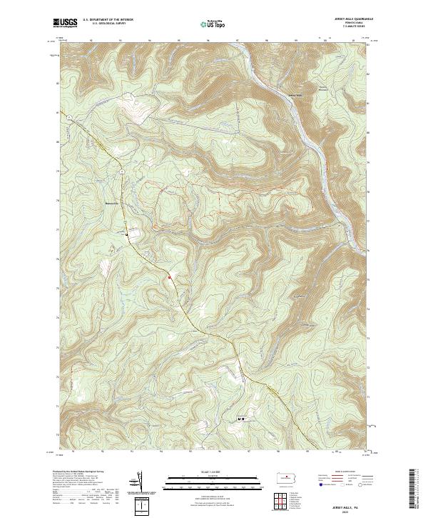
2023 Map of Jersey Mills
USGS Topo · Published 2023About this map
Jersey Mills and Haneyville serve as the primary hubs in this mountainous section of Lycoming Co and Clinton Co, where deep-cut valleys and sharp ridges dictate the flow of travel and water. The landscape is defined by the corridor of Pine Creek, which carries both the Pine Creek Rail-Trl and the Pine Creek Water Trl, following the path of former industrial infrastructure through the valley floor. To the west, the Coudersport Pike and N State Rte 44 wind across the high plateaus, connecting upland clearings like Haneyville to the surrounding drainage basins of Ott Fork and Campbell Run. Genealogists will find critical local landmarks preserved in the labels for Haneyville Cem, Caldwell Cem, and Copenhaver Cem, while landmarks such as Huntley Mountain and Gorman Draft mark the high relief that has historically isolated these remote settlements.
Find a feature on this map
76 named features on this map. Tap any name to fly to it.
Don’t see what you’re looking for? This feature index may not catch every label — zoom into the map to look around manually.
Map Details
Editions of this 2023 Jersey Mills Map
This is the sole edition of this map. No revisions or reprints were ever made.
Other maps of this area

1921 · Howard
USGS Topo · 1:48,000

1921 · Lock Haven
USGS Topo · 1:62,500

1923 · Howard
USGS Topo · 1:62,500

1923 · Lock Haven
USGS Topo · 1:62,500

1935 · Waterville
USGS Topo · 1:24,000

1937 · Waterville
USGS Topo · 1:48,000

1943 · Hyner
USGS Topo · 1:62,500

1943 · Waterville
USGS Topo · 1:62,500

1944 · Lock Haven
USGS Topo · 1:62,500

1946 · Renovo East
USGS Topo · 1:62,500
Featured Places
- Gallagher Township, PA
- Colebrook Township, PA
- Watson Township, PA
- McHenry Township, PA
- Cummings Township, PA