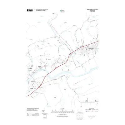
2013 Map of Jersey Shore
USGS Topo · Published 2013About this map
The West Br Susquehanna River carves a path through Lycoming County, defining the valley floor where the borough of Jersey Shore serves as a principal population center. This landscape is a complex meeting of river-bottom settlements and the steep rise of Bald Eagle Mountain to the south. The proximity of Avis and its significant Avis Yard rail infrastructure points to the area's enduring connection to transportation and industry.
Find a feature on this map
173 named features on this map. Tap any name to fly to it.
Don’t see what you’re looking for? This feature index may not catch every label — zoom into the map to look around manually.
Map Details
Editions of this 2013 Jersey Shore Map
This is the sole edition of this map. No revisions or reprints were ever made.
Other maps of this area
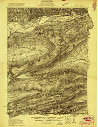
1921 · Williamsport
USGS Topo · 1:48,000
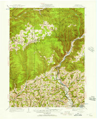
1921 · Trout Run
USGS Topo · 1:62,500
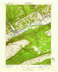
1921 · Lock Haven
USGS Topo · 1:62,500
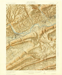
1923 · Lock Haven
USGS Topo · 1:62,500
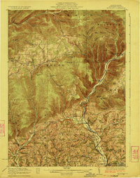
1923 · Trout Run
USGS Topo · 1:62,500
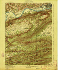
1923 · Williamsport
USGS Topo · 1:62,500
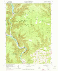
1935 · Waterville
USGS Topo · 1:24,000
1937 · Waterville
USGS Topo · 1:48,000
1943 · Waterville
USGS Topo · 1:62,500
1944 · Trout Run
USGS Topo · 1:62,500