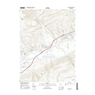
2016 Map of Jersey Shore
USGS Topo · Published 2016About this map
Jersey Shore sits at the confluence of Pine Creek and the West Branch Susquehanna River, a location historically defined by its river-and-rail infrastructure. This area serves as a gateway to the Pine Creek Gorge, where the waterway carves through steep terrain north of Avis and Torbert. The landscape is dominated by the massive ridge of Bald Eagle Mountain to the south, which separates the river valley from the Nippenose Valley near Rauchtown. Settlement patterns here follow the water and rail corridors, with the Norfolk Southern line passing through industrial and residential centers like McElhattan and Youngdale. For genealogists, the map identifies several distinct burial sites including Jersey Shore Cemetery, Bellevue Cemetery, and Rich Cemetery, providing precise locations for local family research in both Lycoming and Clinton counties.
Find a feature on this map
164 named features on this map. Tap any name to fly to it.
Don’t see what you’re looking for? This feature index may not catch every label — zoom into the map to look around manually.
Map Details
Editions of this 2016 Jersey Shore Map
This is the sole edition of this map. No revisions or reprints were ever made.
Other maps of this area

1921 · Williamsport
USGS Topo · 1:48,000

1921 · Trout Run
USGS Topo · 1:62,500

1921 · Lock Haven
USGS Topo · 1:62,500

1923 · Lock Haven
USGS Topo · 1:62,500

1923 · Trout Run
USGS Topo · 1:62,500

1923 · Williamsport
USGS Topo · 1:62,500

1935 · Waterville
USGS Topo · 1:24,000

1937 · Waterville
USGS Topo · 1:48,000

1943 · Waterville
USGS Topo · 1:62,500

1944 · Trout Run
USGS Topo · 1:62,500