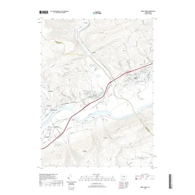
2019 Map of Jersey Shore
USGS Topo · Published 2019About this map
The West Branch Susquehanna River carves a significant path through this landscape, serving as the historical lifeline for the communities of Jersey Shore and Avis. The terrain is defined by dramatic elevation shifts, where the steep slopes of Bald Eagle Mountain and Short Mtn overlook the winding Pine Creek. This valley serves as a critical junction for both natural waterways and human infrastructure, with residential patterns concentrated along the riverbanks in settlements like McElhattan, Woolrich, and Chatham Run.
Find a feature on this map
152 named features on this map. Tap any name to fly to it.
Don’t see what you’re looking for? This feature index may not catch every label — zoom into the map to look around manually.
Map Details
Editions of this 2019 Jersey Shore Map
This is the sole edition of this map. No revisions or reprints were ever made.
Other maps of this area

1921 · Williamsport
USGS Topo · 1:48,000

1921 · Trout Run
USGS Topo · 1:62,500

1921 · Lock Haven
USGS Topo · 1:62,500

1923 · Lock Haven
USGS Topo · 1:62,500

1923 · Trout Run
USGS Topo · 1:62,500

1923 · Williamsport
USGS Topo · 1:62,500

1935 · Waterville
USGS Topo · 1:24,000

1937 · Waterville
USGS Topo · 1:48,000

1943 · Waterville
USGS Topo · 1:62,500

1944 · Trout Run
USGS Topo · 1:62,500