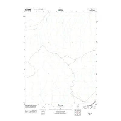
2011 Map of Jessup
USGS Topo · Published 2011About this map
Jessup stands as the primary namesake settlement in this arid Churchill County landscape, situated where local tracks intersect on the eastern edge of the quadrangle. The terrain is defined by a series of intermittent drainage systems, most notably Sage Hen Wash, which drains the northwestern portion of the map. This 2011 survey documents a sparse network of roads and trails that traverse the open basin and range country, illustrating the modern spatial relationship between isolated settlements and the natural watercourses that have historically shaped navigation through the Nevada desert. The map captures the area's characteristic topography, where low-lying washes are the primary geographic features outside of the central mining-related settlement.
Find a feature on this map
2 named features on this map. Tap any name to fly to it.
Don’t see what you’re looking for? This feature index may not catch every label — zoom into the map to look around manually.
Map Details
Editions of this 2011 Jessup Map
This is the sole edition of this map. No revisions or reprints were ever made.
Other maps of this area

1886 · Granite Range
USGS Topo · 1:250,000

1890 · Wadsworth
USGS Topo · 1:125,000

1892 · Wadsworth
USGS Topo · 1:125,000

1894 · Granite Range
USGS Topo · 1:250,000

1894 · Wadsworth
USGS Topo · 1:125,000

1908 · Carson Sink
USGS Topo · 1:250,000

1910 · Carson Sink
USGS Topo · 1:250,000

1931 · Lovelock
USGS Topo · 1:250,000

1935 · Lovelock
USGS Topo · 1:250,000

1951 · Desert Peak
USGS Topo · 1:62,500