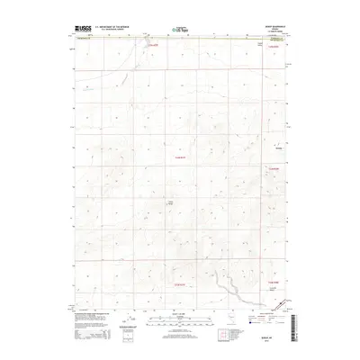
2014 Map of Jessup
USGS Topo · Published 2014About this map
The Trinity Range dominates this portion of the Great Basin, where the high desert terrain of Churchill and Pershing counties meets at a series of ridges and valleys. The settlement of Jessup is situated on the eastern slopes, marking a point of human activity in an otherwise arid expanse defined by complex topographical contours. Drainage patterns are illustrated by Sage Hen Wash in the northwest, which cuts through the high desert floor towards the neighboring basins.
Find a feature on this map
13 named features on this map. Tap any name to fly to it.
Don’t see what you’re looking for? This feature index may not catch every label — zoom into the map to look around manually.
Map Details
Editions of this 2014 Jessup Map
This is the sole edition of this map. No revisions or reprints were ever made.
Other maps of this area

1886 · Granite Range
USGS Topo · 1:250,000

1890 · Wadsworth
USGS Topo · 1:125,000

1892 · Wadsworth
USGS Topo · 1:125,000

1894 · Granite Range
USGS Topo · 1:250,000

1894 · Wadsworth
USGS Topo · 1:125,000

1908 · Carson Sink
USGS Topo · 1:250,000

1910 · Carson Sink
USGS Topo · 1:250,000

1931 · Lovelock
USGS Topo · 1:250,000

1935 · Lovelock
USGS Topo · 1:250,000

1951 · Desert Peak
USGS Topo · 1:62,500