
1970 Map of Jetmore NE
USGS Topo · Published 1971About this map
Hanston - Oppy Oil Field and the neighboring Wieland West Oil Field define the industrial character of this Kansas landscape in the early 1970s. The terrain is marked by a complex network of pipelines and scattered energy infrastructure, including multiple drill holes and a quarry. These features reflect the mid-century expansion of petroleum extraction in Hodgeman County, where the plains are etched by the winding paths of Dry Creek and Sand Creek.
Find a feature on this map
17 named features on this map. Tap any name to fly to it.
Don’t see what you’re looking for? This feature index may not catch every label — zoom into the map to look around manually.
Map Details
Editions of this 1970 Jetmore NE Map
This is the sole edition of this map. No revisions or reprints were ever made.
Other maps of this area

1892 · Ness
USGS Topo · 1:125,000

1894 · Ness
USGS Topo · 1:125,000

1955 · Great Bend
USGS Topo · 1:250,000

1957 · Great Bend
USGS Topo · 1:250,000

1958 · Great Bend
USGS Topo · 1:250,000

1969 · Jetmore
USGS Topo · 1:24,000

1970 · Jetmore SE
USGS Topo · 1:24,000
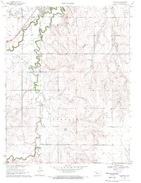
1970 · Hanston
USGS Topo · 1:24,000

1970 · Hanston NW
USGS Topo · 1:24,000
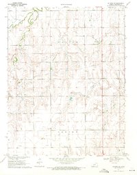
1970 · Jetmore NW
USGS Topo · 1:24,000