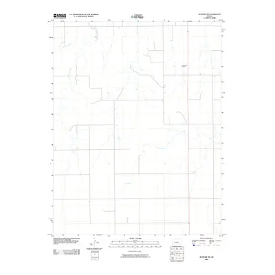
2009 Map of Jetmore NW
USGS Topo · Published 2009About this map
The Pawnee River meanders across the northwestern corner of this Kansas landscape, defining a rural Hodgeman County corridor dedicated to agriculture and resource extraction. Significant hydrological features including Cottonwood Creek and Dry Creek drain the surrounding plains, illustrating the water-dependent nature of life in the High Plains. Industrial development is focused at the Goebel East Oil Field, where the energy economy overlaps with traditional ranching and farming practices. This 2009 survey reflects the sparse, grid-patterned road network characteristic of Western Kansas, where long-established watercourses remain the most prominent natural landmarks among the expansive section lines.
Find a feature on this map
4 named features on this map. Tap any name to fly to it.
Don’t see what you’re looking for? This feature index may not catch every label — zoom into the map to look around manually.
Map Details
Editions of this 2009 Jetmore NW Map
This is the sole edition of this map. No revisions or reprints were ever made.
Other maps of this area

1892 · Ness
USGS Topo · 1:125,000

1894 · Ness
USGS Topo · 1:125,000

1955 · Great Bend
USGS Topo · 1:250,000

1955 · Scott City
USGS Topo · 1:250,000

1957 · Great Bend
USGS Topo · 1:250,000

1958 · Great Bend
USGS Topo · 1:250,000

1958 · Scott City
USGS Topo · 1:250,000

1969 · Jetmore
USGS Topo · 1:24,000

1970 · Jetmore SE
USGS Topo · 1:24,000

1970 · Jetmore NE
USGS Topo · 1:24,000