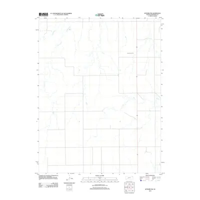
2012 Map of Jetmore NW
USGS Topo · Published 2012About this map
Pawnee River meanders across the northwest corner of this West Central Kansas landscape, carving a distinct path through the High Plains. The terrain is defined by a network of drainage systems, most notably Cottonwood Cr and Dry Cr, which create the subtle topography characteristic of Hodgeman County. Industry in this rural area is represented by the Goebel East Oil Field, signaling the importance of energy extraction alongside traditional land use. This 2012 digital survey captures the intersection of natural hydrology and modern infrastructure, anchored by the north-south transit corridor of Route 283.
Find a feature on this map
5 named features on this map. Tap any name to fly to it.
Don’t see what you’re looking for? This feature index may not catch every label — zoom into the map to look around manually.
Map Details
Editions of this 2012 Jetmore NW Map
This is the sole edition of this map. No revisions or reprints were ever made.
Other maps of this area

1892 · Ness
USGS Topo · 1:125,000

1894 · Ness
USGS Topo · 1:125,000

1955 · Great Bend
USGS Topo · 1:250,000

1955 · Scott City
USGS Topo · 1:250,000

1957 · Great Bend
USGS Topo · 1:250,000

1958 · Great Bend
USGS Topo · 1:250,000

1958 · Scott City
USGS Topo · 1:250,000

1969 · Jetmore
USGS Topo · 1:24,000

1970 · Jetmore SE
USGS Topo · 1:24,000

1970 · Jetmore NE
USGS Topo · 1:24,000