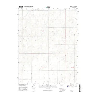
2015 Map of Jetmore NW
USGS Topo · Published 2015About this map
The Pawnee River flows through the northern reaches of this Hodgeman County landscape, anchoring a rural topography defined by deep drainage patterns and agricultural sectioning. Small tributaries like Cottonwood Creek and Dry Creek carve through the terrain, illustrating the hydrologic network that has long shaped land use in this part of Kansas. The map shows a precise grid of rural routes, including north-south corridors like 218 Rd and east-west thoroughfares such as S Rd and Q Rd. This systematic arrangement of roads following township and range boundaries reflects the enduring influence of the Public Land Survey System on the High Plains, where access to water sources like the Pawnee remains a central geographic feature.
Find a feature on this map
22 named features on this map. Tap any name to fly to it.
Don’t see what you’re looking for? This feature index may not catch every label — zoom into the map to look around manually.
Map Details
Editions of this 2015 Jetmore NW Map
This is the sole edition of this map. No revisions or reprints were ever made.
Other maps of this area

1892 · Ness
USGS Topo · 1:125,000

1894 · Ness
USGS Topo · 1:125,000

1955 · Great Bend
USGS Topo · 1:250,000

1955 · Scott City
USGS Topo · 1:250,000

1957 · Great Bend
USGS Topo · 1:250,000

1958 · Great Bend
USGS Topo · 1:250,000

1958 · Scott City
USGS Topo · 1:250,000

1969 · Jetmore
USGS Topo · 1:24,000

1970 · Jetmore SE
USGS Topo · 1:24,000

1970 · Jetmore NE
USGS Topo · 1:24,000