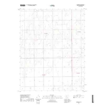
2018 Map of Jetmore NW
USGS Topo · Published 2018About this map
The Pawnee River meanders across the northern reaches of Hodgeman County, defining the drainage patterns of this High Plains landscape. This 2018 survey illustrates the geometric precision of the Public Land Survey System, where sections are divided by a network of rural roads that follow township lines. In the western portion of the quadrangle, Cottonwood Creek flows through the prairie, providing a natural contrast to the structured grid of range and township boundaries such as t21s r24w. The map preserves the specific locations of watercourses and elevation contours before modern land-use changes, offering a clear view of the area's physical geography as it existed in the early 21st century.
Find a feature on this map
6 named features on this map. Tap any name to fly to it.
Don’t see what you’re looking for? This feature index may not catch every label — zoom into the map to look around manually.
Map Details
Editions of this 2018 Jetmore NW Map
This is the sole edition of this map. No revisions or reprints were ever made.
Other maps of this area

1892 · Ness
USGS Topo · 1:125,000

1894 · Ness
USGS Topo · 1:125,000

1955 · Great Bend
USGS Topo · 1:250,000

1955 · Scott City
USGS Topo · 1:250,000

1957 · Great Bend
USGS Topo · 1:250,000

1958 · Great Bend
USGS Topo · 1:250,000

1958 · Scott City
USGS Topo · 1:250,000

1969 · Jetmore
USGS Topo · 1:24,000

1970 · Jetmore SE
USGS Topo · 1:24,000

1970 · Jetmore NE
USGS Topo · 1:24,000