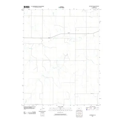
2009 Map of Jetmore SE
USGS Topo · Published 2009About this map
Bosse anchors this stretch of Hodgeman County, where the landscape is defined by the meandering courses of Buckner Creek and Rock Creek. This 2009 survey reflects the rural character of southwestern Kansas, showing a grid of section lines that organize the agricultural terrain. The presence of the Oppy South Oil Field north of the creek highlights the area's energy production history, while Golf Course Rd and other local routes provide a clear view of the transportation network connecting isolated farmsteads. The map's detail is useful for understanding the intersection of natural water systems and the methodical human engineering of the Great Plains, capturing a moment when small settlements like Bosse remained quiet centers in a wide-open landscape.
Find a feature on this map
6 named features on this map. Tap any name to fly to it.
Don’t see what you’re looking for? This feature index may not catch every label — zoom into the map to look around manually.
Map Details
Editions of this 2009 Jetmore SE Map
This is the sole edition of this map. No revisions or reprints were ever made.
Other maps of this area

1892 · Ness
USGS Topo · 1:125,000

1892 · Spearville
USGS Topo · 1:125,000

1894 · Spearville
USGS Topo · 1:125,000

1894 · Ness
USGS Topo · 1:125,000

1955 · Great Bend
USGS Topo · 1:250,000

1955 · Pratt
USGS Topo · 1:250,000

1957 · Great Bend
USGS Topo · 1:250,000

1958 · Great Bend
USGS Topo · 1:250,000

1959 · Pratt
USGS Topo · 1:250,000

1969 · Jetmore
USGS Topo · 1:24,000