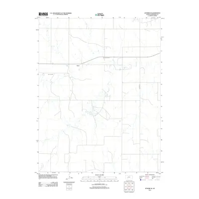
2012 Map of Jetmore SE
USGS Topo · Published 2012About this map
Bosse serves as a small focal point within this rural Kansas landscape, where the agricultural plains are punctuated by the industrial presence of the Oppy South Oil Field. The terrain is defined by the winding paths of Buckner Cr and Rock Cr, which provide natural drainage through the sectioned farm plots. Centrally located, Hodgeman County State Lake stands out as a significant recreational and hydrological feature, offering a contrast to the surrounding dryland activities. The map captures a moment in the early 21st century when energy extraction and local infrastructure, such as the Jetmore Landfill and the transit route of Hodgeman 557, operated alongside traditional High Plains land use.
Find a feature on this map
7 named features on this map. Tap any name to fly to it.
Don’t see what you’re looking for? This feature index may not catch every label — zoom into the map to look around manually.
Map Details
Editions of this 2012 Jetmore SE Map
This is the sole edition of this map. No revisions or reprints were ever made.
Other maps of this area

1892 · Ness
USGS Topo · 1:125,000

1892 · Spearville
USGS Topo · 1:125,000

1894 · Spearville
USGS Topo · 1:125,000

1894 · Ness
USGS Topo · 1:125,000

1955 · Great Bend
USGS Topo · 1:250,000

1955 · Pratt
USGS Topo · 1:250,000

1957 · Great Bend
USGS Topo · 1:250,000

1958 · Great Bend
USGS Topo · 1:250,000

1959 · Pratt
USGS Topo · 1:250,000

1969 · Jetmore
USGS Topo · 1:24,000