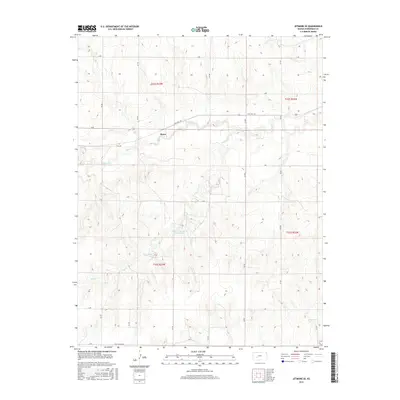
2015 Map of Jetmore SE
USGS Topo · Published 2015About this map
Hodgeman County State Lake serves as a central landmark in this portion of western Kansas, where the prairie landscape is carved by the winding paths of Buckner Cr and Rock Cr. The settlement of Bosse sits near the crossing of State Hwy 156, illustrating the importance of road networks in connecting these rural agrarian townships. This survey detail captures the systematic organization of the land, defined by a rigid grid of county roads including G Rd, K Rd, and O Rd. The presence of Golf Course Rd in the southern section suggests the integration of recreational spaces within the traditional township and range survey blocks of t23s r23w and surrounding districts.
Find a feature on this map
25 named features on this map. Tap any name to fly to it.
Don’t see what you’re looking for? This feature index may not catch every label — zoom into the map to look around manually.
Map Details
Editions of this 2015 Jetmore SE Map
This is the sole edition of this map. No revisions or reprints were ever made.
Other maps of this area

1892 · Ness
USGS Topo · 1:125,000

1892 · Spearville
USGS Topo · 1:125,000

1894 · Spearville
USGS Topo · 1:125,000

1894 · Ness
USGS Topo · 1:125,000

1955 · Great Bend
USGS Topo · 1:250,000

1955 · Pratt
USGS Topo · 1:250,000

1957 · Great Bend
USGS Topo · 1:250,000

1958 · Great Bend
USGS Topo · 1:250,000

1959 · Pratt
USGS Topo · 1:250,000

1969 · Jetmore
USGS Topo · 1:24,000