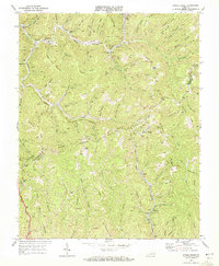
1968 Map of Jewell Ridge
USGS Topo · Published 1972About this map
The coal-rich boundary between Buchanan Co and Tazewell Co is defined here by an intensive network of extractive industry and mountain settlements. The Norfolk and Western railway threads through the narrow valleys, serving a landscape dominated by strip mines, numerous unnamed mines, and tipples. These industrial sites are interspersed with the community life of the region, anchored by the Jewell Valley Sch and local congregations at Jewell Camp Chapel and Jewell Chapel.
Find a feature on this map
92 named features on this map. Tap any name to fly to it.
Don’t see what you’re looking for? This feature index may not catch every label — zoom into the map to look around manually.
Map Details
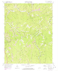
Editions of this 1968 Jewell Ridge Map
2 editions found
Other maps of this area

1891 · Tazewell
USGS Topo · 1:125,000

1895 · Tazewell
USGS Topo · 1:125,000

1897 · Tazewell
USGS Topo · 1:125,000

1910 · Iaeger
USGS Topo · 1:48,000

1912 · Pounding Mill
USGS Topo · 1:62,500

1912 · Iaeger
USGS Topo · 1:62,500

1912 · Welch
USGS Topo · 1:62,500

1914 · Iaeger
USGS Topo · 1:48,000

1915 · Richlands
USGS Topo · 1:48,000

1916 · Pounding Mill
USGS Topo · 1:62,500