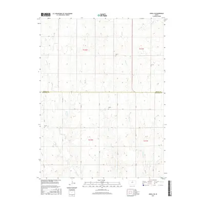
2015 Map of Jewell SW
USGS Topo · Published 2015About this map
Jewell and Mitchell counties divide this agricultural landscape in North Central Kansas, where a systematic grid of section roads like A Rd and 260 Rd overlays a network of winding creek beds. This 2015 survey reveals the persistence of early rural community centers through its documented cemeteries. Fairview Cem appears in both the northwest and southwest portions of the map, while Star Cem and Glendale Cem mark other quiet corners of the townships. The drainage of the land is defined by the wandering paths of Plum Cr, Mulberry Cr, and Browns Cr, which cut through the surveyed sections, creating the only breaks in the strictly geometric road and field patterns of the plains.
Find a feature on this map
25 named features on this map. Tap any name to fly to it.
Don’t see what you’re looking for? This feature index may not catch every label — zoom into the map to look around manually.
Map Details
Editions of this 2015 Jewell SW Map
This is the sole edition of this map. No revisions or reprints were ever made.
Other maps of this area

1894 · Mankato
USGS Topo · 1:125,000

1894 · Beloit
USGS Topo · 1:125,000

1953 · Solomon Rapids
USGS Topo · 1:24,000

1953 · Glen Elder South
USGS Topo · 1:24,000

1953 · Beloit
USGS Topo · 1:24,000

1955 · Beloit
USGS Topo · 1:250,000

1959 · Beloit
USGS Topo · 1:250,000

1962 · Jewell SE
USGS Topo · 1:24,000

1962 · Glen Elder North
USGS Topo · 1:24,000

1962 · Jewell SW
USGS Topo · 1:24,000