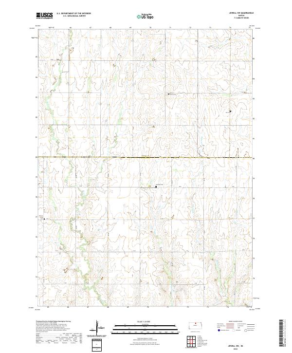
2022 Map of Jewell SW
USGS Topo · Published 2022About this map
Atkins Union Cem and Star Cem stand as quiet landmarks along the northern reaches of this rural Kansas landscape. The terrain is defined by a series of south-flowing drainage systems, including Browns Cr, Dog Cr, and Mulberry Cr, which carve subtle valleys through the agricultural sections. Straddling the boundary between Jewell Co and Mitchell Co, the area preserves a highly organized section-line road network with alphabetical and numerical designations such as A Rd and 260 Rd. For genealogists, the distribution of local burial sites like Glendale Cem and Browns Creek Cem provides essential points of reference for early families who settled these townships. The map illustrates the persistent rhythm of Great Plains land division, where small cemeteries and seasonal creeks remain the primary features of the open countryside.
Find a feature on this map
18 named features on this map. Tap any name to fly to it.
Don’t see what you’re looking for? This feature index may not catch every label — zoom into the map to look around manually.
Map Details
Editions of this 2022 Jewell SW Map
This is the sole edition of this map. No revisions or reprints were ever made.
Other maps of this area

1894 · Mankato
USGS Topo · 1:125,000

1894 · Beloit
USGS Topo · 1:125,000

1953 · Solomon Rapids
USGS Topo · 1:24,000

1953 · Glen Elder South
USGS Topo · 1:24,000

1953 · Beloit
USGS Topo · 1:24,000

1955 · Beloit
USGS Topo · 1:250,000

1959 · Beloit
USGS Topo · 1:250,000

1962 · Jewell SE
USGS Topo · 1:24,000

1962 · Glen Elder North
USGS Topo · 1:24,000

1962 · Jewell SW
USGS Topo · 1:24,000