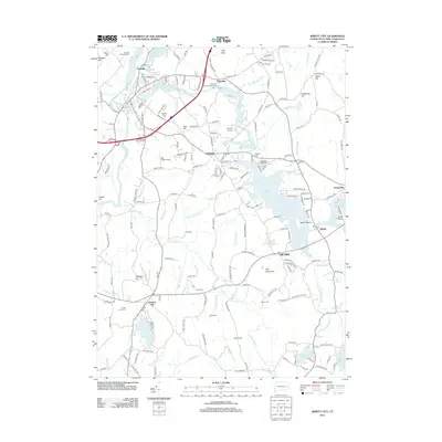
2012 Map of Jewett City
USGS Topo · Published 2012About this map
Pachaug Pond and the surrounding mill towns define this corner of New London County, where the Pachaug River links a series of industrial and recreational waters. The landscape is dotted with small, historically significant settlements like Clayville, Hopeville, and Glasgo, each situated near its respective pond. Genealogists will find a high density of burial grounds throughout the area, including Pachaug Cem, Leonard Cem, and the Fobes Amos Cem near Preston City. The 2012 topography shows a shift toward conservation and recreation, evidenced by the YMCA Camp on Miller Brook and various campgrounds. Local aviation is represented by several small landing strips, such as Spruce Airport and Bee Field Airport, which occupy the level spaces between the region's prominent ridges like Geer Hill and Bay Mountain.
Find a feature on this map
197 named features on this map. Tap any name to fly to it.
Don’t see what you’re looking for? This feature index may not catch every label — zoom into the map to look around manually.
Map Details
Editions of this 2012 Jewett City Map
This is the sole edition of this map. No revisions or reprints were ever made.
Other maps of this area

1889 · Stonington
USGS Topo · 1:62,500

1889 · Moosup
USGS Topo · 1:62,500

1892 · New London
USGS Topo · 1:62,500

1892 · Norwich
USGS Topo · 1:62,500

1893 · Moosup
USGS Topo · 1:62,500

1893 · Stonington
USGS Topo · 1:62,500

1893 · New London
USGS Topo · 1:62,500

1920 · Moosup
USGS Topo · 1:62,500

1921 · New London
USGS Topo · 1:62,500

1921 · Stonington
USGS Topo · 1:62,500