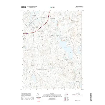
2021 Map of Jewett City
USGS Topo · Published 2021About this map
Jewett City serves as the industrial and population hub at the confluence of the Quinebaug River and Pachaug River. The landscape is defined by its early New England settlement patterns, where small villages like Hopeville, Pachaug, and Glasgo developed around the water power provided by numerous brooks and ponds. Significant water bodies such as Pachaug Pond and Hopeville Pond illustrate the historical importance of water management in the region, while Amos Lake and Billings Lake anchor the southern and eastern reaches.
Find a feature on this map
163 named features on this map. Tap any name to fly to it.
Don’t see what you’re looking for? This feature index may not catch every label — zoom into the map to look around manually.
Map Details
Editions of this 2021 Jewett City Map
This is the sole edition of this map. No revisions or reprints were ever made.
Other maps of this area

1889 · Stonington
USGS Topo · 1:62,500

1889 · Moosup
USGS Topo · 1:62,500

1892 · New London
USGS Topo · 1:62,500

1892 · Norwich
USGS Topo · 1:62,500

1893 · Moosup
USGS Topo · 1:62,500

1893 · Stonington
USGS Topo · 1:62,500

1893 · New London
USGS Topo · 1:62,500

1920 · Moosup
USGS Topo · 1:62,500

1921 · New London
USGS Topo · 1:62,500

1921 · Stonington
USGS Topo · 1:62,500