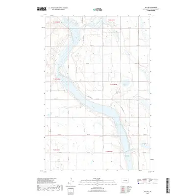
2017 Map of Jim Lake
USGS Topo · Published 2017About this map
The Fort Totten Trail traces a historical path through this prairie landscape, providing a linear connection between the wetlands and the rising Grasshopper Hills. This portion of Stutsman County is defined by the winding course of the James River, which expands into substantial water bodies including Jim Lake and the northern reaches of the Jamestown Reservoir. The map illustrates a complex hydrologic network where smaller features like Medicine Lake and Plowe Lake dot the plains, many connected by seasonal waterways such as Stony Brook. The persistent grid of rural roads, including 12th St SE and 82nd Ave SE, frames a region primarily organized for agriculture, though the presence of Depuy Dam Lake indicates managed water resources and conservation areas within the river valley.
Find a feature on this map
30 named features on this map. Tap any name to fly to it.
Don’t see what you’re looking for? This feature index may not catch every label — zoom into the map to look around manually.
Map Details
Editions of this 2017 Jim Lake Map
This is the sole edition of this map. No revisions or reprints were ever made.
Other maps of this area

1900 · Pingree
USGS Topo · 1:125,000

1900 · Pingree
USGS Topo · 1:62,500

1950 · Buchanan
USGS Topo · 1:24,000

1950 · Fried
USGS Topo · 1:24,000

1951 · Fried
USGS Topo · 1:24,000

1951 · Arrowwood Lake
USGS Topo · 1:24,000

1951 · Kensal
USGS Topo · 1:24,000

1951 · Pingree
USGS Topo · 1:24,000

1951 · Bordulac SW
USGS Topo · 1:24,000

1952 · Buchanan
USGS Topo · 1:24,000