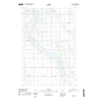
2020 Map of Jim Lake
USGS Topo · Published 2020About this map
The James River and its extensive wetlands dominate this landscape in Stutsman County, where the river valley widens into Jim Lake and the northern reaches of the Jamestown Reservoir. This modern survey illustrates the complex hydrology of the region, including smaller water bodies like Medicine Lake, Plowe Lake, and Stony Brook. A significant historical element preserved on the map is the path of the Fort Totten Trail, which winds through the river valley, marking a legacy of nineteenth-century transit across the Dakota Territory.
Find a feature on this map
26 named features on this map. Tap any name to fly to it.
Don’t see what you’re looking for? This feature index may not catch every label — zoom into the map to look around manually.
Map Details
Editions of this 2020 Jim Lake Map
This is the sole edition of this map. No revisions or reprints were ever made.
Other maps of this area

1900 · Pingree
USGS Topo · 1:125,000

1900 · Pingree
USGS Topo · 1:62,500

1950 · Buchanan
USGS Topo · 1:24,000

1950 · Fried
USGS Topo · 1:24,000

1951 · Fried
USGS Topo · 1:24,000

1951 · Arrowwood Lake
USGS Topo · 1:24,000

1951 · Kensal
USGS Topo · 1:24,000

1951 · Pingree
USGS Topo · 1:24,000

1951 · Bordulac SW
USGS Topo · 1:24,000

1952 · Buchanan
USGS Topo · 1:24,000