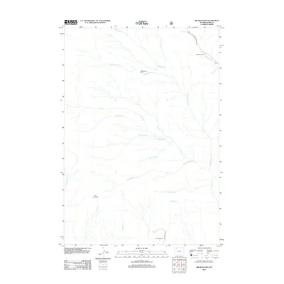
2012 Map of Jim Mountain
USGS Topo · Published 2012About this map
Jim Mountain anchors this high-elevation landscape in Park County, where complex drainage systems define the territory. The map details a network of waterways including Robbers Roost Cr, Trout Cr, and the lyrically named Laughing Water Cr, illustrating how water shaped the access and settlement patterns of this Wyoming wilderness. While largely unsettled, the map identifies isolated outposts like Robbers Roost Cabin and established agricultural holdings such as Mooncrest Ranch and Four Bear Ranch. The northern section is accessed via Rattlesnake Creek Rd, following the winding path of Rattlesnake Cr. These labels reflect a history of frontier habitation and cattle ranching, providing specific locations for researchers tracing the development of high-country ranching or those interested in the folklore behind names like Gunnysack Cr and Singing Brook.
Find a feature on this map
24 named features on this map. Tap any name to fly to it.
Don’t see what you’re looking for? This feature index may not catch every label — zoom into the map to look around manually.
Map Details
Editions of this 2012 Jim Mountain Map
This is the sole edition of this map. No revisions or reprints were ever made.
Other maps of this area

1893 · Ishawooa
USGS Topo · 1:125,000

1895 · Ishawooa
USGS Topo · 1:125,000

1896 · Crandall Creek
USGS Topo · 1:125,000

1899 · Crandall
USGS Topo · 1:125,000

1899 · Ishawooa
USGS Topo · 1:125,000

1949 · Pat O'Hara Mountain
USGS Topo · 1:62,500

1955 · Cody
USGS Topo · 1:250,000

1956 · Dead Indian Peak
USGS Topo · 1:62,500

1957 · Wapiti
USGS Topo · 1:62,500

1958 · Cody
USGS Topo · 1:250,000