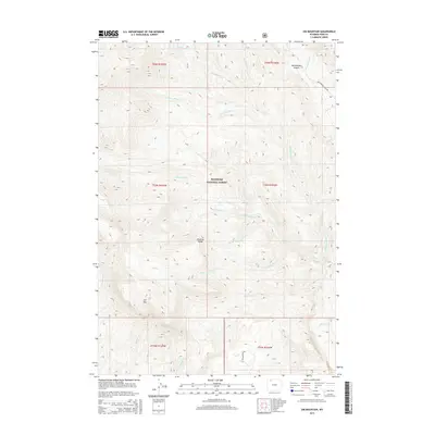
2015 Map of Jim Mountain
USGS Topo · Published 2015About this map
The Absaroka Range dominates this portion of the Shoshone National Forest, characterized by high peaks and a dense network of mountain drainages. At the heart of the landscape, Jim Mtn rises above the surrounding valleys, accessible by the winding path of Jim Mountain Rd. The terrain is carved by numerous watercourses with evocative names like Laughing Water Cr, Robbers Roost Cr, and Singing Brook, which feed into larger systems such as Trout Cr.
Find a feature on this map
28 named features on this map. Tap any name to fly to it.
Don’t see what you’re looking for? This feature index may not catch every label — zoom into the map to look around manually.
Map Details
Editions of this 2015 Jim Mountain Map
This is the sole edition of this map. No revisions or reprints were ever made.
Other maps of this area

1893 · Ishawooa
USGS Topo · 1:125,000

1895 · Ishawooa
USGS Topo · 1:125,000

1896 · Crandall Creek
USGS Topo · 1:125,000

1899 · Crandall
USGS Topo · 1:125,000

1899 · Ishawooa
USGS Topo · 1:125,000

1949 · Pat O'Hara Mountain
USGS Topo · 1:62,500

1955 · Cody
USGS Topo · 1:250,000

1956 · Dead Indian Peak
USGS Topo · 1:62,500

1957 · Wapiti
USGS Topo · 1:62,500

1958 · Cody
USGS Topo · 1:250,000