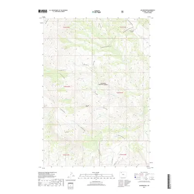
2017 Map of Jim Mountain
USGS Topo · Published 2017About this map
Shoshone National Forest dominates this section of the Absaroka Range, where high-elevation drainage systems define the landscape within the North Fork Shoshone River watershed. The terrain is marked by prominent peaks such as Jim Mtn and deep cuts like Rattlesnake Canyon in the northeast. A network of historical access routes, including the Jim Mountain Trail and Trout Cr Trail, indicates a legacy of backcountry travel through these steep valleys. Numerous seasonally or spring-fed watercourses, such as the evocative Singing Brook, Laughing Water Cr, and Robbers Roost Cr, flow through the dense contours. The map captures the complex system of township and range boundaries that overlay this wilderness, providing a detailed record of the jurisdictional and physical geography of this corner of Park County.
Find a feature on this map
36 named features on this map. Tap any name to fly to it.
Don’t see what you’re looking for? This feature index may not catch every label — zoom into the map to look around manually.
Map Details
Editions of this 2017 Jim Mountain Map
This is the sole edition of this map. No revisions or reprints were ever made.
Other maps of this area

1893 · Ishawooa
USGS Topo · 1:125,000

1895 · Ishawooa
USGS Topo · 1:125,000

1896 · Crandall Creek
USGS Topo · 1:125,000

1899 · Crandall
USGS Topo · 1:125,000

1899 · Ishawooa
USGS Topo · 1:125,000

1949 · Pat O'Hara Mountain
USGS Topo · 1:62,500

1955 · Cody
USGS Topo · 1:250,000

1956 · Dead Indian Peak
USGS Topo · 1:62,500

1957 · Wapiti
USGS Topo · 1:62,500

1958 · Cody
USGS Topo · 1:250,000