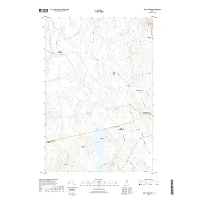
2018 Map of Jimmey Mountain
USGS Topo · Published 2018About this map
Baskahegan Stream and the Mattawamkeag River dominate this portion of the Maine interior, where the county line separates Aroostook Co and Washington Co. The landscape is defined by its transition from low-lying wetlands and coves, such as Kinney Cove and Mud Cove, to the prominent elevations of Peekaboo Mtn and Jimmey Mtn. This geography shaped a network of small, localized communities and family landmarks, including South Bancroft and the Irish Settlement. Genealogists and local historians can trace legacy sites like the Toole-Bean Spinney Cem near Bancroft Rd or the Trout Brook Cem further east. The connectivity of the region is anchored by Rte 1 in the northeast corner and the winding Danforth Rd, which navigates the ridges between Lower Hot Brook Lake and the northern hills.
Find a feature on this map
46 named features on this map. Tap any name to fly to it.
Don’t see what you’re looking for? This feature index may not catch every label — zoom into the map to look around manually.
Map Details
Editions of this 2018 Jimmey Mountain Map
This is the sole edition of this map. No revisions or reprints were ever made.
Other maps of this area

1940 · Danforth
USGS Topo · 1:62,500

1940 · Amity
USGS Topo · 1:62,500

1941 · Danforth
USGS Topo · 1:62,500

1941 · Amity
USGS Topo · 1:62,500

1941 · Mattawamkeag Lake
USGS Topo · 1:62,500

1941 · Wytopitlock
USGS Topo · 1:62,500

1943 · Danforth
USGS Topo · 1:62,500

1943 · Wytopitlock
USGS Topo · 1:62,500

1943 · Amity
USGS Topo · 1:62,500

1943 · Mattawamkeag Lake
USGS Topo · 1:62,500