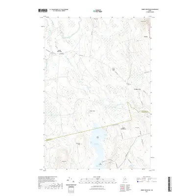
2021 Map of Jimmey Mountain
USGS Topo · Published 2021About this map
Baskahegan Stream winds through a landscape of ridges and wetlands at the intersection of Washington and Aroostook counties. This northern Maine terrain is anchored by significant water bodies, including Upper Hot Brook Lake and Lower Hot Brook Lake, which are separated by The Sandbar. Small residential clusters and family names define the local history of the area, notably at Irish Settlement and Cropley Turn.
Find a feature on this map
49 named features on this map. Tap any name to fly to it.
Don’t see what you’re looking for? This feature index may not catch every label — zoom into the map to look around manually.
Map Details
Editions of this 2021 Jimmey Mountain Map
This is the sole edition of this map. No revisions or reprints were ever made.
Other maps of this area

1940 · Danforth
USGS Topo · 1:62,500

1940 · Amity
USGS Topo · 1:62,500

1941 · Danforth
USGS Topo · 1:62,500

1941 · Amity
USGS Topo · 1:62,500

1941 · Mattawamkeag Lake
USGS Topo · 1:62,500

1941 · Wytopitlock
USGS Topo · 1:62,500

1943 · Danforth
USGS Topo · 1:62,500

1943 · Wytopitlock
USGS Topo · 1:62,500

1943 · Amity
USGS Topo · 1:62,500

1943 · Mattawamkeag Lake
USGS Topo · 1:62,500