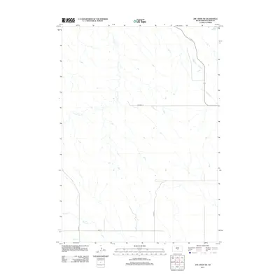
2012 Map of Joe Creek SW
USGS Topo · Published 2012About this map
Lake Sharpe defines the northeastern corner of this Lyman County landscape, marking the edge of the Missouri River reservoir system. The terrain is characterized by a network of drainage systems, including the headwaters and winding paths of S Fork Cedar Cr and Bad Horse Cr. In the southern portion of the quadrangle, Grouse Cr meanders across the open country, illustrating the natural watershed patterns of the region. A sparse but essential road network connects this area, with BIA Route 14 providing a key east-west transit point through the center of the sheet, while secondary routes like Co Hwy-23, Co Hwy-15, and Co Rd-16 serve the surrounding rural reaches.
Find a feature on this map
8 named features on this map. Tap any name to fly to it.
Don’t see what you’re looking for? This feature index may not catch every label — zoom into the map to look around manually.
Map Details
Editions of this 2012 Joe Creek SW Map
This is the sole edition of this map. No revisions or reprints were ever made.
Other maps of this area

1953 · Huron
USGS Topo · 1:250,000

1954 · Pierre
USGS Topo · 1:250,000

1954 · Huron
USGS Topo · 1:250,000

1955 · Martin
USGS Topo · 1:250,000

1955 · Mitchell
USGS Topo · 1:250,000

1958 · Pierre
USGS Topo · 1:250,000

1958 · Martin
USGS Topo · 1:250,000

1959 · Mitchell
USGS Topo · 1:250,000

1966 · Joe Creek
USGS Topo · 1:24,000

1966 · Ft. George Butte SE
USGS Topo · 1:24,000