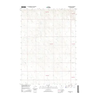
2015 Map of Joe Creek SW
USGS Topo · Published 2015About this map
S Fork Cedar Cr and Bad Horse Cr wind through this segment of the Missouri River highlands in central South Dakota. The landscape is defined by the Public Land Survey System, with township boundaries like t107n r76w and t108n r76w organizing the terrain into a regular grid of sections. This geometric division of the plains is reflected in the modern road network, where numbered thoroughfares such as 312th Ave and 232nd St follow the section lines almost exclusively. In the southwest corner, Grouse Cr cuts across the prairie, while the presence of Sd-1806 provides a primary transit corridor through these rural ranchlands. The map serves as a clear record of how early territorial surveying continues to dictate the infrastructure and movement across the Lyman County countryside.
Find a feature on this map
17 named features on this map. Tap any name to fly to it.
Don’t see what you’re looking for? This feature index may not catch every label — zoom into the map to look around manually.
Map Details
Editions of this 2015 Joe Creek SW Map
This is the sole edition of this map. No revisions or reprints were ever made.
Other maps of this area

1953 · Huron
USGS Topo · 1:250,000

1954 · Pierre
USGS Topo · 1:250,000

1954 · Huron
USGS Topo · 1:250,000

1955 · Martin
USGS Topo · 1:250,000

1955 · Mitchell
USGS Topo · 1:250,000

1958 · Pierre
USGS Topo · 1:250,000

1958 · Martin
USGS Topo · 1:250,000

1959 · Mitchell
USGS Topo · 1:250,000

1966 · Joe Creek
USGS Topo · 1:24,000

1966 · Ft. George Butte SE
USGS Topo · 1:24,000