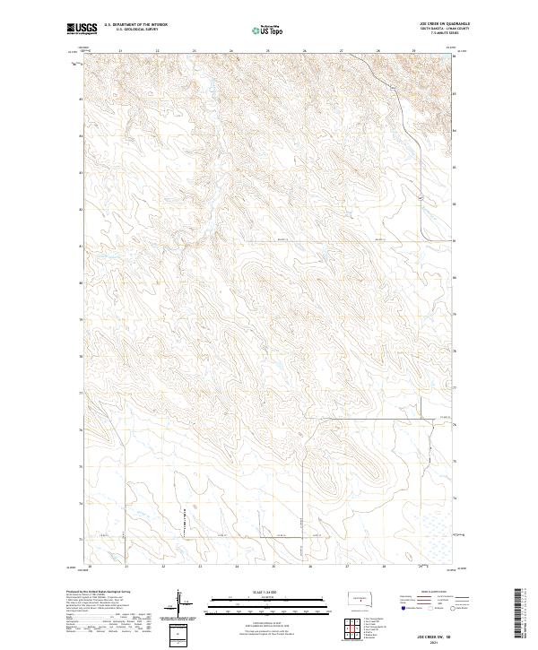
2021 Map of Joe Creek SW
USGS Topo · Published 2021About this map
S Fork Cedar Cr and Bad Horse Cr wind through the open grasslands of Lyman County, defining the drainage patterns of this central South Dakota landscape. The terrain is characterized by intricate contouring that illustrates the breaks and draws leading toward the Missouri River system just beyond the map's edge. Human presence is marked primarily by a grid of rural roads and administrative tracks, including Bia Rte 14 and Co Hwy 23. To the south, Grouse Cr crosses under Co Rd 16, highlighting a sparsely settled region where land use is dictated by the natural topography. The survey provides a clear view of Section lines and township boundaries such as t107n r76w and t106n r76w, essential for property research and understanding the historic division of the Great Plains.
Find a feature on this map
15 named features on this map. Tap any name to fly to it.
Don’t see what you’re looking for? This feature index may not catch every label — zoom into the map to look around manually.
Map Details
Editions of this 2021 Joe Creek SW Map
This is the sole edition of this map. No revisions or reprints were ever made.
Other maps of this area

1953 · Huron
USGS Topo · 1:250,000

1954 · Pierre
USGS Topo · 1:250,000

1954 · Huron
USGS Topo · 1:250,000

1955 · Martin
USGS Topo · 1:250,000

1955 · Mitchell
USGS Topo · 1:250,000

1958 · Pierre
USGS Topo · 1:250,000

1958 · Martin
USGS Topo · 1:250,000

1959 · Mitchell
USGS Topo · 1:250,000

1966 · Joe Creek
USGS Topo · 1:24,000

1966 · Ft. George Butte SE
USGS Topo · 1:24,000