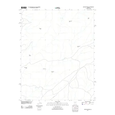
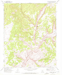
2011 Map of John Daw Mesa
USGS Topo · Published 2011About this map
John Daw Mesa dominates this high-desert landscape in Coconino County, characterized by a complex network of arroyos and canyons. The topographical relief is punctuated by prominent landmarks such as Yellow Butte in the northeast and Yellowstone Point to the west. Water sources, vital in this arid environment, are specifically identified by labels like Well under the Rock and Smoke Hole Tank.
Find a feature on this map
12 named features on this map. Tap any name to fly to it.
Don’t see what you’re looking for? This feature index may not catch every label — zoom into the map to look around manually.
Map Details
Editions of this 2011 John Daw Mesa Map
This is the sole edition of this map. No revisions or reprints were ever made.
Other maps of this area

1883 · Marsh Pass
USGS Topo · 1:250,000

1892 · Marsh Pass
USGS Topo · 1:250,000

1956 · Marble Canyon
USGS Topo · 1:250,000

1959 · Marble Canyon
USGS Topo · 1:250,000

1961 · Marble Canyon
USGS Topo · 1:250,000
1967 · Rocky Ridge NW
USGS Topo · 1:24,000
1967 · Pillars of Hercules
USGS Topo · 1:24,000
1967 · Begashibito Canyon
USGS Topo · 1:24,000

1970 · Cow Springs
USGS Topo · 1:24,000
1970 · Kydestea Spring
USGS Topo · 1:24,000