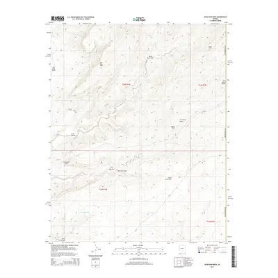
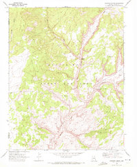
2014 Map of John Daw Mesa
USGS Topo · Published 2014About this map
John Daw Mesa and the surrounding high desert of Coconino County dominate this landscape, which remains defined by traditional land use and remote water sources. In the early 21st century, the map documents a terrain marked by deep washes and named canyons, including Many Owl Canyon and Perea Canyon. For genealogists and local historians, the inclusion of the John Daw Grave provides a rare, specific point of family history within the broader Navajo Nation lands. Evidence of the challenging environment is found in the names of vital water points like Smoke Hole Tank, Bitter Spring Wash, and the evocatively named Well under the Rock. Transport through this area is largely limited to unpaved routes such as Bia-21 and Bia-6, which navigate the elevation changes between Yellowstone Point and The Narrows.
Find a feature on this map
21 named features on this map. Tap any name to fly to it.
Don’t see what you’re looking for? This feature index may not catch every label — zoom into the map to look around manually.
Map Details
Editions of this 2014 John Daw Mesa Map
This is the sole edition of this map. No revisions or reprints were ever made.
Other maps of this area

1883 · Marsh Pass
USGS Topo · 1:250,000

1892 · Marsh Pass
USGS Topo · 1:250,000

1956 · Marble Canyon
USGS Topo · 1:250,000

1959 · Marble Canyon
USGS Topo · 1:250,000

1961 · Marble Canyon
USGS Topo · 1:250,000
1967 · Rocky Ridge NW
USGS Topo · 1:24,000
1967 · Pillars of Hercules
USGS Topo · 1:24,000
1967 · Begashibito Canyon
USGS Topo · 1:24,000

1970 · Cow Springs
USGS Topo · 1:24,000
1970 · Kydestea Spring
USGS Topo · 1:24,000