2022 Map of John Sevier
USGS Topo · Published 2022About this map
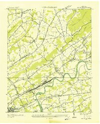
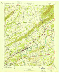
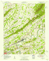
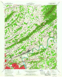
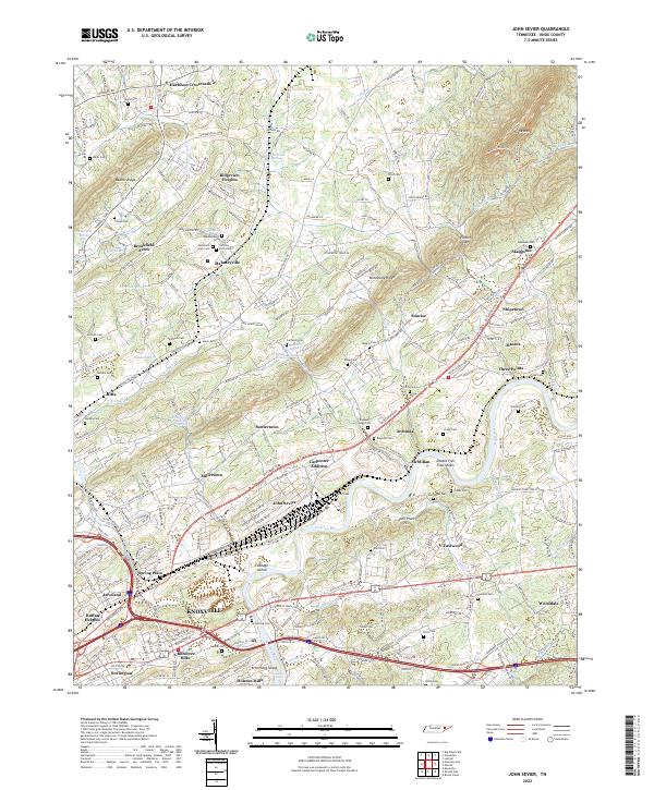
The Holston River winds through the heart of this Knox County landscape, creating a geographic divide between the northern ridges and the southern residential stretches of Knoxville. Near the river's bend, the John Sevier area and Cabbage Island represent a complex riverine environment, complemented by the notable Double Fish Trap Shoals. The terrain is defined by parallel ridges including Beaver Ridge and McAnnally Ridge, which frame narrow valleys like Hines Valley and Beaver Valley.
Find a feature on this map
91 named features on this map. Tap any name to fly to it.
Don’t see what you’re looking for? This feature index may not catch every label — zoom into the map to look around manually.
Map Details
Editions of this 2022 John Sevier Map
This is the sole edition of this map. No revisions or reprints were ever made.
Historical Maps of Skaggston Through Time
6 maps found