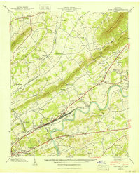
1940 Map of John Sevier
USGS Topo · Published 1950About this map
The Southern railroad corridor dominates this Tennessee landscape just before mid-century, centering on the massive rail infrastructure of John Sevier Station. This transportation hub sits along the Holston River, where Cabbage Island and the Ruggles Ferry Bridge anchor the river crossing. The surrounding terrain is defined by the prominent ridges of House Mountain, Blackoak Ridge, and Beaver Ridge, which channel development into valleys populated by numerous small rural communities. Local life in these corridors is mapped through an array of institutions including the County Hospital, County Workhouse, and dozens of country churches such as Miller Chapel and Roseberry Ch. Educational sites like Elmwood Sch and Sunnyview Sch appear alongside family-named landmarks like Tindell Cem and Shell Cem, providing significant detail for those tracing the social geography of Knox County.
Find a feature on this map
80 named features on this map. Tap any name to fly to it.
Don’t see what you’re looking for? This feature index may not catch every label — zoom into the map to look around manually.
Map Details
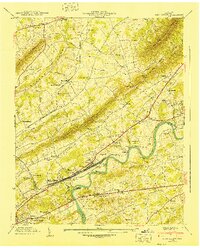
Editions of this 1940 John Sevier Map
2 editions found
Other maps of this area

1886 · Knoxville
USGS Topo · 1:125,000

1892 · Knoxville
USGS Topo · 1:125,000

1894 · Knoxville
USGS Topo · 1:125,000

1895 · Knoxville
USGS Topo · 1:125,000

1897 · Maynardville
USGS Topo · 1:125,000

1900 · Maynardville
USGS Topo · 1:125,000

1901 · Knoxville
USGS Topo · 1:125,000

1935 · Luttrell
USGS Topo · 1:24,000

1935 · Mascot
USGS Topo · 1:24,000

1935 · Knoxville
USGS Topo · 1:48,000