
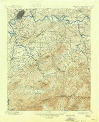
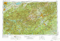
1935 Map of Knoxville
USGS Topo · Published 1935About this map
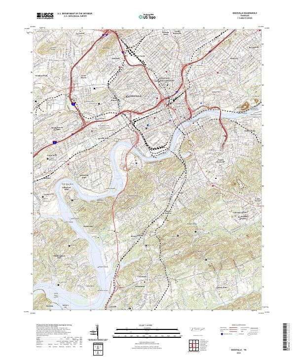
The Tennessee Valley Authority (TVA) and the USGS compiled this aerial-surveyed study during a transformative era of regional infrastructure development. The Tennessee River winds through the heart of Knoxville, where the campus of the University of Tennessee and the Knoxville Municipal Airport stand as major local anchors. To the south and east, the landscape transitions into the prominent ridges of Brown Mountain and Bays Mountain, punctuated by industrial sites like Meades Quarry and the specialized settlement at Alcoa.
Find a feature on this map
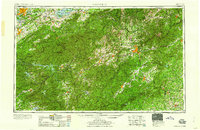
60 named features on this map. Tap any name to fly to it.
Don’t see what you’re looking for? This feature index may not catch every label — zoom into the map to look around manually.
Map Details
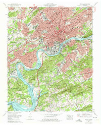
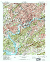
Editions of this 1935 Knoxville Map
This is the sole edition of this map. No revisions or reprints were ever made.
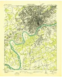
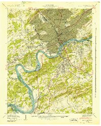
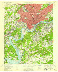
Historical Maps of Knoxville Through Time
17 maps found

1886 Knoxville
Knox County, TN

1892 Knoxville
Knox County, TN

1894 Knoxville
Knox County, TN

1895 Knoxville
Knox County, TN
1901 Knoxville
Knox County, TN
1935 Knoxville
Knox County, TN
1936 Knoxville
Knox County, TN
1942 Knoxville
Knox County, TN
1953 Knoxville
Knox County, TN

1955 Knoxville
Knox County, TN
1957 Knoxville
Knox County, TN
1960 Knoxville
Knox County, TN

1964 Knoxville
Knox County, TN
1966 Knoxville
Knox County, TN
1978 Knoxville
Knox County, TN

1983 Knoxville
Knox County, TN
2022 Knoxville
Knox County, TN