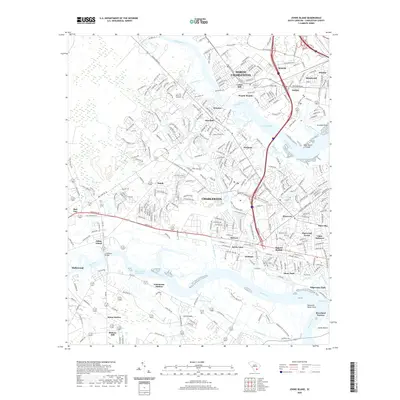
2020 Map of Johns Island
USGS Topo · Published 2020About this map
The Stono River and Ashley River carve a complex path through this coastal South Carolina landscape, defining the boundaries between Johns Island and the expanding suburbs of North Charleston. The map details a transition from the dense neighborhood grids of Saint Andrews and Pinecrest to the more open terrain of Sandy and Hickory Hill. Strategic points along the waterways are marked by Limehouse Bridge and the historic footprint of Fort Bull, while the legacy of rail transport remains visible at Dupont Station and Limehouse Station.
Find a feature on this map
60 named features on this map. Tap any name to fly to it.
Don’t see what you’re looking for? This feature index may not catch every label — zoom into the map to look around manually.
Map Details
Editions of this 2020 Johns Island Map
This is the sole edition of this map. No revisions or reprints were ever made.
Other maps of this area

1919 · Ladson
USGS Topo · 1:21,120

1919 · Johns Island
USGS Topo · 1:21,120

1919 · Wadmelaw Island
USGS Topo · 1:62,500

1919 · Melgrove
USGS Topo · 1:21,120

1919 · Charleston
USGS Topo · 1:21,120

1919 · James Island
USGS Topo · 1:21,120

1919 · Legareville
USGS Topo · 1:21,120

1920 · Ravenels
USGS Topo · 1:62,500

1940 · Melgrove
USGS Topo · 1:24,000

1943 · Legareville
USGS Topo · 1:24,000
Featured Places
- Charleston, SC
- North Charleston, SC
- Hollywood, SC
- Brentwood, North Charleston
- Ashley Villas, North Charleston