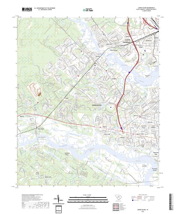
2024 Map of Johns Island
USGS Topo · Published 2024About this map
The Stono River and Ashley River converge around the coastal landscapes of Charleston and North Charleston in this contemporary record. The map documents the intricate waterways and marshlands characteristic of the Lowcountry, highlighting the Intracoastal Waterway and the historic Johns Island Ferry crossing. Settlement patterns reveal a mix of established neighborhoods like Wando Woods and Pierpont, alongside industrial and transportation nodes such as Limehouse Station and Stono Station.
Find a feature on this map
53 named features on this map. Tap any name to fly to it.
Don’t see what you’re looking for? This feature index may not catch every label — zoom into the map to look around manually.
Map Details
Editions of this 2024 Johns Island Map
This is the sole edition of this map. No revisions or reprints were ever made.
Other maps of this area

1919 · Ladson
USGS Topo · 1:21,120

1919 · Johns Island
USGS Topo · 1:21,120

1919 · Wadmelaw Island
USGS Topo · 1:62,500

1919 · Melgrove
USGS Topo · 1:21,120

1919 · Charleston
USGS Topo · 1:21,120

1919 · James Island
USGS Topo · 1:21,120

1919 · Legareville
USGS Topo · 1:21,120

1920 · Ravenels
USGS Topo · 1:62,500

1940 · Melgrove
USGS Topo · 1:24,000

1943 · Legareville
USGS Topo · 1:24,000
Featured Places
- Charleston, SC
- North Charleston, SC
- Hollywood, SC
- Brentwood, North Charleston
- Green Grove, North Charleston