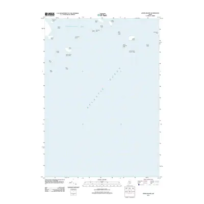
2011 Map of Johns Island
USGS Topo · Published 2011About this map
Toothacher Bay and the open expanse of the Atlantic Ocean dominate this coastal survey, where a scattered archipelago of small landmasses sits off the Maine coast. The landscape is defined by its maritime hazards and family-named landmarks, ranging from larger outcroppings like Johns Island and Heron Island to numerous low-lying ledges and rocks that define the navigation of these waters.
Find a feature on this map
23 named features on this map. Tap any name to fly to it.
Don’t see what you’re looking for? This feature index may not catch every label — zoom into the map to look around manually.
Map Details
Editions of this 2011 Johns Island Map
This is the sole edition of this map. No revisions or reprints were ever made.
Other maps of this area

1904 · Deer Isle
USGS Topo · 1:62,500

1904 · Swan Island
USGS Topo · 1:62,500

1905 · Penobscot Bay
USGS Topo · 1:125,000

1942 · Deer Isle
USGS Topo · 1:62,500

1943 · Swans Island
USGS Topo · 1:62,500

1944 · Deer Isle
USGS Topo · 1:62,500

1945 · Swans Island
USGS Topo · 1:62,500

1948 · Bangor
USGS Topo · 1:250,000

1948 · Bath
USGS Topo · 1:250,000

1956 · Bangor
USGS Topo · 1:250,000