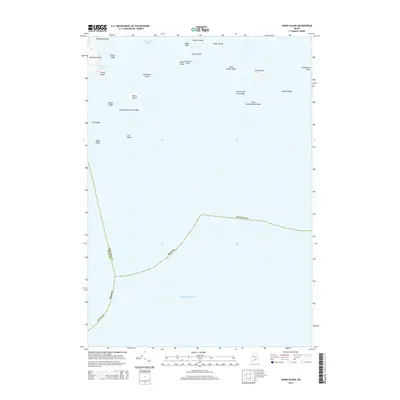
2014 Map of Johns Island
USGS Topo · Published 2014About this map
Johns Island and the surrounding archipelagos of the Atlantic Ocean define this maritime landscape along the jurisdictional boundary of Knox and Hancock counties. The geography is characterized by numerous small islands and hazardous marine features, including several named ledges and rocks that have long been critical to local navigation. Notable among these are Sally Prude Ledge, Mason Ledge, and the submerged Johns Island Sunken Ledge. On the larger landmasses, distinctive coastal features such as Devils Head on Marshall Island and Gooseberry Point mark the interface between the rocky Maine coast and the sea. The map details a complex network of island clusters, from Brimstone Island in the west to the outer reaches of Beach Ledge, illustrating the sparse but named terrain of this remote coastal area.
Find a feature on this map
30 named features on this map. Tap any name to fly to it.
Don’t see what you’re looking for? This feature index may not catch every label — zoom into the map to look around manually.
Map Details
Editions of this 2014 Johns Island Map
This is the sole edition of this map. No revisions or reprints were ever made.
Other maps of this area

1904 · Deer Isle
USGS Topo · 1:62,500

1904 · Swan Island
USGS Topo · 1:62,500

1905 · Penobscot Bay
USGS Topo · 1:125,000

1942 · Deer Isle
USGS Topo · 1:62,500

1943 · Swans Island
USGS Topo · 1:62,500

1944 · Deer Isle
USGS Topo · 1:62,500

1945 · Swans Island
USGS Topo · 1:62,500

1948 · Bangor
USGS Topo · 1:250,000

1948 · Bath
USGS Topo · 1:250,000

1956 · Bangor
USGS Topo · 1:250,000