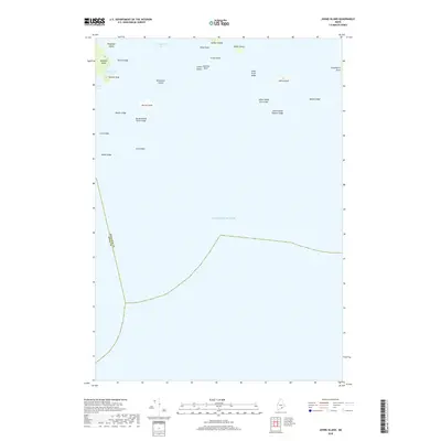
2018 Map of Johns Island
USGS Topo · Published 2018About this map
Marshall Island and the surrounding waters of Toothacher Bay dominate this coastal survey, where the rugged maritime boundary between Knox and Hancock counties cuts through the Atlantic Ocean. The map reveals a complex archipelago of granite outcroppings and named hazards, including Sally Prude Ledge, Johns Island Sunken Ledge, and Mason Ledge. These features underscore the navigational challenges faced by local mariners and fishing fleets in the area south of Swan's Island.
Find a feature on this map
28 named features on this map. Tap any name to fly to it.
Don’t see what you’re looking for? This feature index may not catch every label — zoom into the map to look around manually.
Map Details
Editions of this 2018 Johns Island Map
This is the sole edition of this map. No revisions or reprints were ever made.
Other maps of this area

1904 · Deer Isle
USGS Topo · 1:62,500

1904 · Swan Island
USGS Topo · 1:62,500

1905 · Penobscot Bay
USGS Topo · 1:125,000

1942 · Deer Isle
USGS Topo · 1:62,500

1943 · Swans Island
USGS Topo · 1:62,500

1944 · Deer Isle
USGS Topo · 1:62,500

1945 · Swans Island
USGS Topo · 1:62,500

1948 · Bangor
USGS Topo · 1:250,000

1948 · Bath
USGS Topo · 1:250,000

1956 · Bangor
USGS Topo · 1:250,000