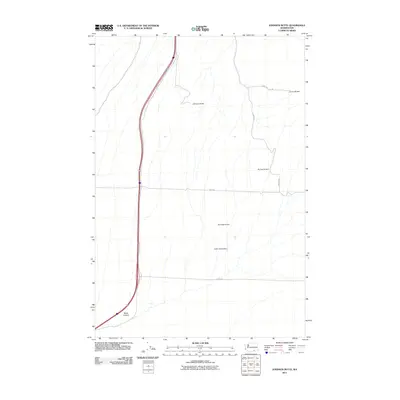
2011 Map of Johnson Butte
USGS Topo · Published 2011About this map
Johnson Butte stands as the central landmark in this portion of Benton County, overlooking a landscape defined by seasonal drainages and early 21st-century water management infrastructure. The map documents several small-scale agricultural barriers, including Pat Owens Dam, Burlingame Dam, and the curiously named Coffin Sheep Dam, which indicate the importance of water storage in this arid region.
Find a feature on this map
11 named features on this map. Tap any name to fly to it.
Don’t see what you’re looking for? This feature index may not catch every label — zoom into the map to look around manually.
Map Details
Editions of this 2011 Johnson Butte Map
This is the sole edition of this map. No revisions or reprints were ever made.
Other maps of this area

1908 · Umatilla
USGS Topo · 1:125,000

1917 · Pasco
USGS Topo · 1:125,000

1953 · Pendleton
USGS Topo · 1:250,000

1953 · Walla Walla
USGS Topo · 1:250,000

1956 · Pendleton
USGS Topo · 1:250,000

1958 · Walla Walla
USGS Topo · 1:250,000

1962 · Hat Rock
USGS Topo · 1:24,000

1962 · Juniper
USGS Topo · 1:24,000

1962 · Umatilla
USGS Topo · 1:24,000
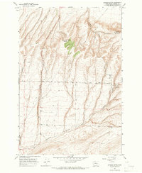
1964 · Johnson Butte
USGS Topo · 1:24,000