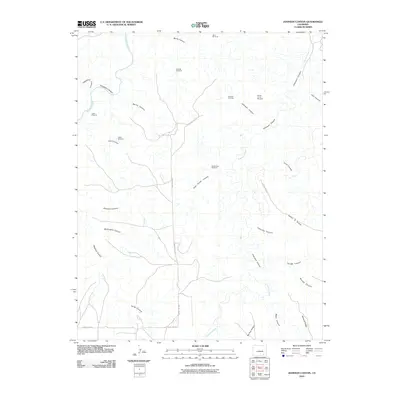
2010 Map of Johnson Canyon
USGS Topo · Published 2010About this map
Johnson Cemetery sits at the heart of this high plains landscape, situated near the head of Johnson Canyon in southeastern Colorado. The drainage patterns of the Purgatoire River and Chacuaco Creek dominate the topography, carving a network of deep breaks including Sandoval Canyon, Whitewater Canyon, and the distinctively named Umbrella Canyon. The era of modern ranching is clearly visible through a series of named water-pumping landmarks scattered across the plateaus, such as Double Tank Windmill, Round Corral Windmill, and Mesa Windmill. Local infrastructure is defined by remote thoroughfares like County Rd-159.1, which links these isolated grazing lands. The map highlights specific topographical curiosities like Seven D Pocket and Bar Four Pocket, illustrating the specialized terminology of the region's canyon-and-mesa cattle country.
Find a feature on this map
32 named features on this map. Tap any name to fly to it.
Don’t see what you’re looking for? This feature index may not catch every label — zoom into the map to look around manually.
Map Details
Editions of this 2010 Johnson Canyon Map
This is the sole edition of this map. No revisions or reprints were ever made.
Other maps of this area

1891 · Timpas
USGS Topo · 1:125,000

1891 · Mesa De Maya
USGS Topo · 1:125,000

1893 · Mesa de Maya
USGS Topo · 1:125,000

1894 · Timpas
USGS Topo · 1:125,000

1955 · La Junta
USGS Topo · 1:250,000

1958 · La Junta
USGS Topo · 1:250,000

1968 · La Junta
USGS Topo · 1:250,000

1972 · Johnson Canyon
USGS Topo · 1:24,000

1972 · Doss Canyon North
USGS Topo · 1:24,000

1972 · Plum Canyon
USGS Topo · 1:24,000