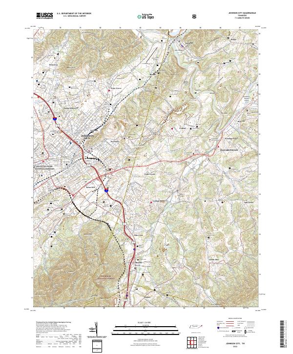
2022 Map of Johnson City
USGS Topo · Published 2022About this map
Johnson City serves as the focal point of this 2022 survey, illustrating the modern convergence of educational, medical, and military legacy in East Tennessee. The sprawling grounds of East Tennessee State University and the Mountain Home National Cemetery dominate the western portion of the city, while Milligan College is situated to the southeast along Buffalo Cr. This landscape is defined by the transition from urban neighborhoods like Keystone and Carnegie to the protected woodlands of the Cherokee National Forest along Buffalo Mtn.
Find a feature on this map
118 named features on this map. Tap any name to fly to it.
Don’t see what you’re looking for? This feature index may not catch every label — zoom into the map to look around manually.
Map Details
Editions of this 2022 Johnson City Map
This is the sole edition of this map. No revisions or reprints were ever made.
Other maps of this area

1891 · Roan Mountain
USGS Topo · 1:125,000

1894 · Roan Mountain
USGS Topo · 1:125,000

1904 · Roan Mountain
USGS Topo · 1:125,000

1934 · Iron Mtn Gap
USGS Topo · 1:24,000

1935 · Watauga Valley
USGS Topo · 1:48,000

1935 · Erwin
USGS Topo · 1:24,000

1935 · Spurgeon
USGS Topo · 1:24,000

1935 · Elizabethton
USGS Topo · 1:24,000
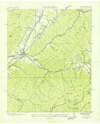
1935 · Unicoi
USGS Topo · 1:24,000
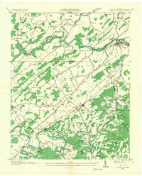
1935 · Bluff City
USGS Topo · 1:24,000