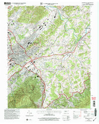
2003 Map of Johnson City
USGS Topo · Published 2004About this map
Buffalo Mountain anchors the southern portion of this Washington County landscape, where the urban expansion of Johnson City meets the historic riverbanks of Elizabethton. The survey illustrates a maturing mid-century infrastructure, centered on the Veterans Admin Center and the Mountain Home (PO) campus. Education and industry are closely intertwined here, with Milligan College situated in the southeast and the Clinchfield RR corridor facilitating local commerce.
Find a feature on this map
112 named features on this map. Tap any name to fly to it.
Don’t see what you’re looking for? This feature index may not catch every label — zoom into the map to look around manually.
Map Details
Editions of this 2003 Johnson City Map
This is the sole edition of this map. No revisions or reprints were ever made.
Other maps of this area

1891 · Roan Mountain
USGS Topo · 1:125,000

1894 · Roan Mountain
USGS Topo · 1:125,000

1904 · Roan Mountain
USGS Topo · 1:125,000

1934 · Iron Mtn Gap
USGS Topo · 1:24,000

1935 · Watauga Valley
USGS Topo · 1:48,000

1935 · Erwin
USGS Topo · 1:24,000

1935 · Spurgeon
USGS Topo · 1:24,000

1935 · Elizabethton
USGS Topo · 1:24,000
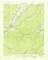
1935 · Unicoi
USGS Topo · 1:24,000
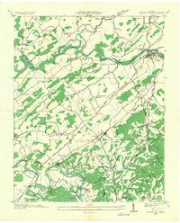
1935 · Bluff City
USGS Topo · 1:24,000