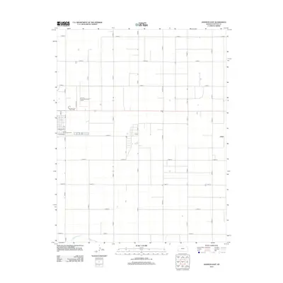
2012 Map of Johnson East
USGS Topo · Published 2012About this map
Stanton County's expansive high plains landscape is captured in this survey, where the rigid geometry of the section-line road network dominates the topography. Centered on the eastern outskirts of the county seat, the map details important local civic infrastructure including the Stanton County Fairgrounds and the Stanton County Municipal Airport. The settlement of Julian sits at the eastern edge of the quadrangle, connected to the primary hub by a series of precisely gridded thoroughfares such as E Road 13 and N Road G. In the southern reaches, the natural path of Sand Arroyo Cr provides a rare break from the anthropogenic lines of the grid, winding through the shortgrass prairie. This area reflects the modern agricultural character of Western Kansas, where large-scale land management is evident in the layout of roads and the placement of community facilities like Stanton County Prairie Pines.
Find a feature on this map
33 named features on this map. Tap any name to fly to it.
Don’t see what you’re looking for? This feature index may not catch every label — zoom into the map to look around manually.
Map Details
Editions of this 2012 Johnson East Map
This is the sole edition of this map. No revisions or reprints were ever made.
Other maps of this area

1900 · Syracuse
USGS Topo · 1:125,000

1920 · Syracuse
USGS Topo · 1:125,000

1955 · Dodge City
USGS Topo · 1:250,000

1958 · Dodge City
USGS Topo · 1:250,000

1959 · Dodge City
USGS Topo · 1:250,000

1959 · Big Bow NE
USGS Topo · 1:24,000

1959 · Big Bow NW
USGS Topo · 1:24,000

1959 · Big Bow SW
USGS Topo · 1:24,000
1959 · Big Bow
USGS Topo · 1:24,000

1973 · Shore Airport
USGS Topo · 1:24,000