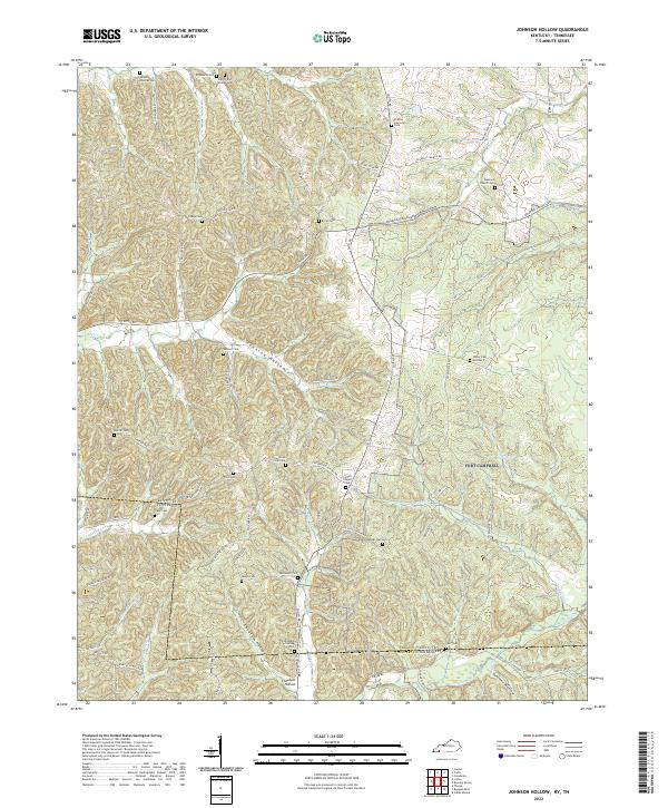
2022 Map of Johnson Hollow
USGS Topo · Published 2022About this map
The winding boundary between Trigg Co Kentucky and Stewart Co Tennessee threads through a landscape defined by deeply cut drainages and dozens of family burial grounds. This modern survey reveals a region where genealogy is written into the terrain, from the Futrell and Skinner Cem in the north to the Carr Cem near the southern border. The intricate network of hollows, including Johnson Hollow and Summer Hollow, funnels water toward Dry Fork Cr and Saline Cr, illustrating how the physical geography dictated the layout of rural farmsteads and transport routes like Linton Rd and Cadiz Rd. The density of named cemeteries, such as Joiners Chapel Cem and Sholar Cem Number 5, suggests a long-standing pattern of family-centered settlement and land ownership that persists even as the wilderness encroaches on former clearings.
Find a feature on this map
72 named features on this map. Tap any name to fly to it.
Don’t see what you’re looking for? This feature index may not catch every label — zoom into the map to look around manually.
Map Details
Editions of this 2022 Johnson Hollow Map
This is the sole edition of this map. No revisions or reprints were ever made.
Other maps of this area

1936 · Tharpe
USGS Topo · 1:24,000

1950 · Caledonia
USGS Topo · 1:24,000

1951 · Caledonia
USGS Topo · 1:24,000

1951 · Model
USGS Topo · 1:24,000

1951 · Roaring Spring
USGS Topo · 1:24,000

1951 · Johnson Hollow
USGS Topo · 1:24,000
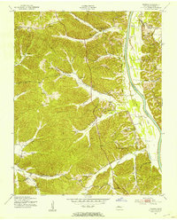
1951 · Tharpe
USGS Topo · 1:24,000

1951 · Indian Mound
USGS Topo · 1:24,000

1951 · Bumpus Mills
USGS Topo · 1:24,000

1953 · Canton
USGS Topo · 1:24,000